
Sunday, January 27, 2013
Winter Afternoon At Bray Lake


Sunday, November 18, 2012
New Bridge Over Bray Brook
Here are some photos of the new bridge that crosses Bray Brook on the Bray Inner Loop Trail:


Sunday, August 12, 2012
Mt.Tom Summer Hike 8/12/12
Sunday was a beautiful day for a hike. I started out near the Maintenance Area of the reservation and headed up the Quarry Trail to the Middle Loop Trail. From there it was up Tote Road to the Ski Area.
I then hiked the access road to the UMASS wind tower, then headed on to Dead Top. From there i headed north along the MM Trail to Whiting Peak then back down to Free Orchard. Total hike time was around 2 hours, 40 minutes.
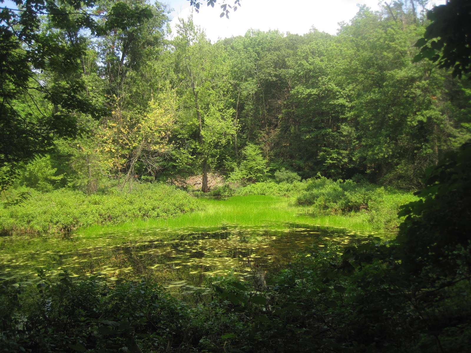
Frog Pond off Quarry Trail near Long Loop trail.

Heading east towards the D'O C and Keystone Trails junction.

Basalt rock formation off of Middle Loop Trail heading southeast towards Tote Road.

A quiet, peaceful section of forest near Tote Road.

Yellow cracked Bolete half way up Tote Road.

Heading up Tote Road towards the Mt. Tom Ski Area.

There are still a few structures remaining that bring back memories of the Mt. Tom Ski Area.

I traveled far to see the face of God.

On the road to Dead Top.

The abandoned UMASS wind power experiment.

The Basalt cliffs of the Mt. Tom Range looking northward.

Basalt shale on the west side of the mountain.

One of the many species of wild flowers growing atop the mountain.


Northern Tooth growing on trees near Whiting Peak.

Physical Graffiti atop of Mt. Minus. Graffiti is still a problem all along the MM trail.
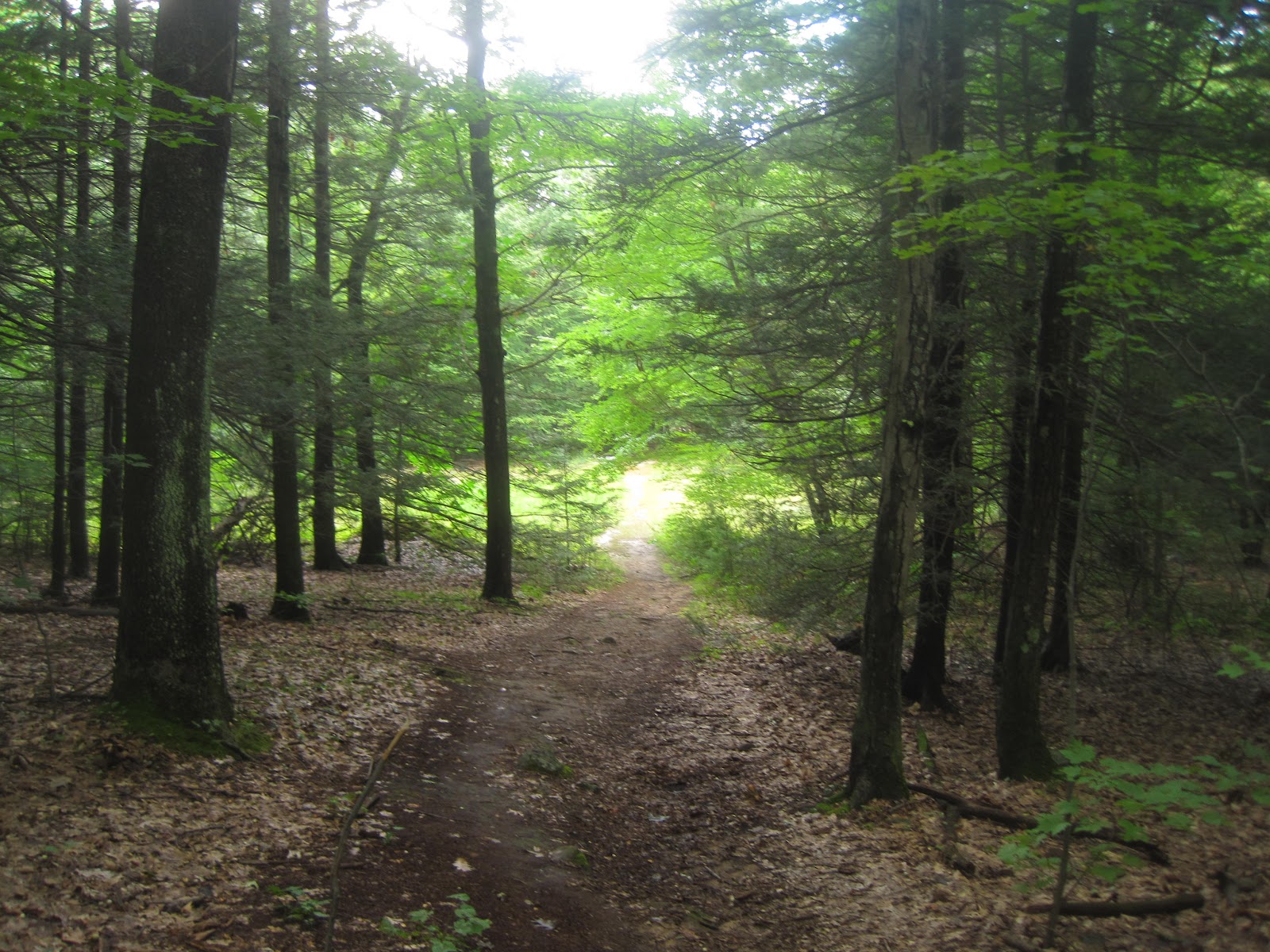
Heading back towards Free Orchard.

Mt Tom Reservation Maintenance Area.
Sunday, July 8, 2012
New Tower Atop Mt.Tom
Holyoke Gas & Electric Communications Tower
Pictured is the communications tower which was erected in June by the Holyoke Gas & Electric just north of the Mt. Tom summit. According to the G&E, the tower will further assess wind power resources and attach telecommunications equipment. G&E also plans to lease space on the tower to other telecommunication companies.


Maintenance building inside tower boundry.
Wednesday, June 1, 2011
Renovations At Community Field

Community Field is the largest park in Holyoke MA (93.6 acres) and offers active and passive recreational activities. Originally planned as an enclosed athletic stadium, the park was dedicated to the City on October 31, 1925. The land was gifted to the City by a non-profit citizen group who raised funds and purchased the land “to promote physical education and athletic exercise".
This submittal proposes a complete renovation of Community Field to provide an ADA-accessible multi-generational four season recreation facility offering walking trails, an ice and roller skating path, sledding hills, water spray feature, play structures, picnic facilities, dog park, interpretative signage, seating, parking and small recreational playing field. Once completed it will be the City’s only four season park.
As part of the park renovation project, the City also proposes to daylight 305’ linear feet of Day Brook to eliminate overland flooding during heavy storm events and to create 1400’ linear of new natural stream channels to enhance the natural resources. Day Brook is currently piped from underneath I-91 in a 48” culvert, discharging to a small confluence area before entering a 30” pipe under the wading pool.
The 30” pipe discharges at a headwall on the eastern edge of the park and flows over steep ledge. Eventually, Day Brook re-enters a culvert at Hicks Ave. and enters the CSO system.
In the spring of 2008, after a large storm event, the Day Brook culvert system at Community Field was overwhelmed and flooding caused damage to the park roadway and flooded downstream residential properties. The Conservation Commission has issued an Order of Conditions (DEP File No. 186-0235) approving the park renovation.
Low impact design elements and green technology is integrated into the park design as appropriate. Rain gardens, rain recapture systems and native non-invasive plantings will be used.Community Field is located in the Oakdale neighborhood- a central Holyoke neighborhood.
It isaccessed from Route 202/Cherry Street near I-91 Interchange 16. A gated rear entrance off of Summitt Street is open only during winter months to prevent “cut-through” traffic.
The park is readily accessible for both City residents and those throughout the Pioneer Valley. The Pioneer Valley Transit Authority (PVTA- Red Route 24) provides bus service within a quarter mile of the park entrance.
The park is located within a half mile of two elementary schools, Holyoke High School, and two large subsidized housing projects (Jarvis Heights Apartments and Beaudoin Village). It is readily accessible from I-91. The neighborhood (and much of Holyoke) is Commonwealth of MA designated as an Environmental Justice community.
Community Field serves as the entrance to the historic Scott Tower Park on Crafts’ Hill- a 1940’s Works Progress Administration (WPA) site of stone bridges, walks, and the Scott Tower. Scott Tower is located on the west side of I-91 and is accessed from a gated road at Community Field.
Vehicular access to Scott Tower is prohibited. Scott Tower is not the subject of this application. However, it is the City’s hope that with the revitalization of Community Field, Scott Tower could once again become a jewel amenity.
Community Field is currently in poor to fair condition and provides no ADA-accessible activities. The last large scale park renovation occurred here in the early 1970’s. Vestiges of the 1970’s renovations can still be found- an unusable basketball court, shuffle board courts in disrepair, and a non-functioning wading pool.
In the 1980’s, a community group installed the Kelly Constant Memorial Playground. The playground was removed in 2007 due to safety concerns. A few picnic tables and the overgrown sledding hills remain. Poor drainage and stormwater
management from I-91 runoff and Day Brook have result in saturated soil conditions (unusable fields) and park flooding.
Severe storm damage in 2008 further degraded the park. The park has suffered a circular decline- as fewer and fewer positive activities were available, more and
more inappropriate and/or criminal uses developed which drove out positive uses and visitors.
The current dominant use is daytime walking and dog walking. Loved and enjoyed by generations of Holyokers, the community is fully supportive of the
renovation of Community Field. Community support is evidenced by the 2005 Open Space and Recreation Plan and Community Field-specific planning meetings.
In 2007, a group of constituents led by City Councilor Todd McGee spearheaded an effort to revitalize Community Field. Community Field is noted throughout the 2005 City of Holyoke Open Space and Recreation Plan (2005 OSP) as being in need of renovation/repair.
The 2005 OSP Survey results noted that of the top ten goals, rehabilitation on existing parks was highly favored over development of new parks. Community Field is specifically mentioned in the Five Year Action Plan as the subject of action items including removal of the play structure, renovation of the spray pad, repair of gates,
and overall reconstruction.
This proposal and the findings of the 2005 OSP are consistent with the Massachusetts Outdoors 2006 (SCORP) in that 92.8% of respondents in the CT Valley indicated new funding initiatives should focus on restoring and improving existing recreational areas. CT Valley respondents also placed the highest priority on walking (13.9%) and playground (11.3%).
The Parks and Recreation Department began the Community Field renovation public process in early 2008 with a Request for Proposals for redesign of the park. Public meetings were held on October 14, 2008, December 13, 2008, and February 10, 2009 at Holyoke High School. Gale Associates Inc. completed a Redevelopment Master Plan based upon community input in April 2009. An on-site public meeting was held on June 7, 2009 to discuss preliminary plans.
During the planning process, a Community Field Redevelopment Plan Survey was issued to the community. Of respondents to the question “Should Community Field be redeveloped?”, 93% indicated “yes”.
The renovation of Community Field is consistent with several local initiatives including the 2010 Open Space and Recreation Plan Update and those of the Holyoke Food and Fitness Policy Council (HFFPC). The HFFPC is actively promoting healthy living though obesity education and encouraging the community to take advantage of local recreational opportunities.
Park visitation will also be enhanced by the on-site presence of environmental resources including Day Brook and four wetland systems. The area is not mapped as having any threatened or endangered species (upland/wetland/plant/animal) nor is it within FEMAmapped flood plain (Zone C) or listed as a DEP Waste Site.
VHB, Inc. has submitted an Abbreviated Notice of Resource Area Delineation to the City of Holyoke Conservation Commission and DEP for confirmation of the wetland boundaries. Low impact design elements and green technology is integrated into the park design as appropriate. Rain gardens, rain recapture systems and native non-invasive plantings will be used.
The City of Holyoke proposes this comprehensive renovation of Community Field to address those issues which caused the park to fall into disrepair. With this comprehensive approach and broad community support, Community Field will once again be a local and regional destination offering the City’s only ADA-accessible multi-generational four season recreational opportunities.
No practicable alternatives to the proposed project and design exist (§55.20(c)(1)). In order to correct the substandard drainage and stormwater management system, work in wetlands must occur. No actual development such as hard park amenities (playscapes, etc.) is proposed with wetland areas.
Work in wetland areas is solely proposed to address historic flooding and property damage. The only viable alternative is no redevelopment of the park as it would be fiscally imprudent to fund park renovations without addressing the flooding issues. (§55.20(c)(2))
In addition to concerns for life and property, the city considered the natural and values of the wetlands. The natural resources of the wetland include water, biological, recreational and societal resources. The wetlands will be enhanced with new native non-invasive plantings and improved stormwater quality.
The City of Holyoke Conservation Commission and the MA DEP by issuance of the Order of Conditions DEP No. 186-235 have determined that the construction of the buildings will have no quantifiable impact on plant and animal life. The Order of Conditions is final; no appeals were filed.
The site is not within Priority Habitat for rare plants or wildlife or Estimated Habitat ofRare Wetlands Wildlife. The Massachusetts Historical Commission determined that the projectis unlikely to affect significant historic or archeological resources. (§55.20(d)) (U.S. DEPARTMENT OF HOUSING AND URBAN DEVELOPMENT)

Community Field is closed for renovations. Once completed it will be Holyoke's only four season park.


Heavy duty tree cutting equipment being used in the renovation of Community Field.

This wooded area on the east side of the field is being renovated for a Dog Park.

The Community Field wading/spray pool provided hours of fun for children on hot summer days. The renovation of the field includes restoration of the spray pool.

The parking lot between the old wading pool and the Ralph Sacks Recreation Area. In recent years this area had become the site of illegal activity.

Looking northward, a pathway is all that remains of the Wooden Playground in the Ralph Sacks Recreation Area. The playground was removed in 2007 due to safety and health concerns. Plans for this area include a new Warming House and ice and roller skating paths including play structures.
Friday, April 2, 2010
Mt. Tom Tea Pavilion: Now
Here's what remains of the Tea Pavilion which was located on the east side of Mt. Tom below the Summit House (see previous post for pictures of the pavilion in the 1900s)
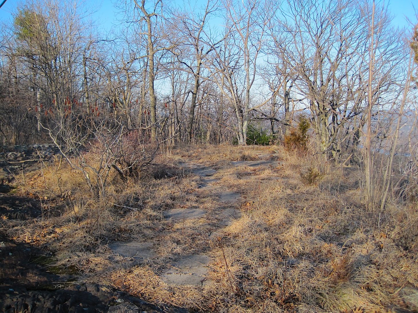 This concrete slab is all that remains of the pavilion, this view is to the north.
 And a view to the south.
 Bill was here!!!
 Another view facing south, at this angle you can get an idea of how thick the concrete floor was.
Mt.Tom Tea Pavilion: Then...

The Tea Pavilion was located on the East side of Mt. Tom, just below the Summit House.


The pavilion offered spectacular views to the east and southeast.

The Tea Pavilion was used mostly as a social gathering spot by the women visitors to the summit.

A group of ladies socializing at the Mt. Tom Tea Pavilion. The views from the mountain were spectacular in the early 1900s due to the deforestation of the summit by the previous owner, a Mr. Fairfield who owned a lumber company in Westfield. He sold the mountain top and surrounding area to William Stiles Loomis in the late 1890s.


The north end of the pavilion with the Whiting Street Reservoir and Connecticut River in the background.

Another view from the summit's south slope.
Subscribe to:
Posts (Atom)


